In my approximation, there are exactly two types of trips.
There are the fun trips. Where the only thing that matters is a few empty days on the calendar. Those trips when the destination isn’t nearly as important as the crew along for the ride.
And then there are the real trips.
You know.
The ones you spent a year planning, poring over topo maps, plotting the perfect route, meticulously counting every ounce of food so you have enough calories to squeeze every last mile into that epic long-distance backpacking trip you scheduled to perfectly coincide with your last few days of vacation, two weekends, and Labor Day.
Trips like this one.
The plan was really pretty simple.
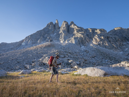
Hike the length of Wyoming’s Wind River Mountains in a single push, connecting a whole bunch of dots on and off trail. I pitched the idea to a couple folks.
“Too long.”
“Too much suffering.”
“Dude, that’s a shitty vacation.”
In a last ditch effort, I half-assed the idea to my brother.
“Sounds rad. I’m in.”
He didn’t really care about the details, he just wanted 9 days of adventure.
Oh, that’s easy. Trust me.
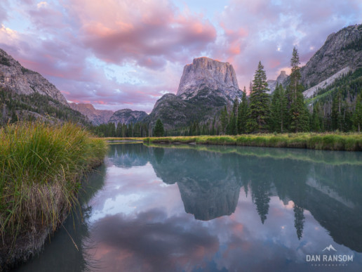
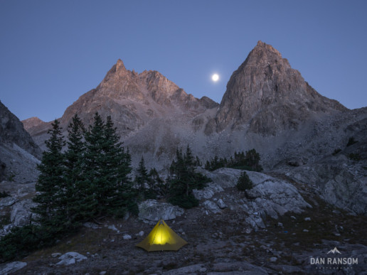
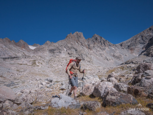
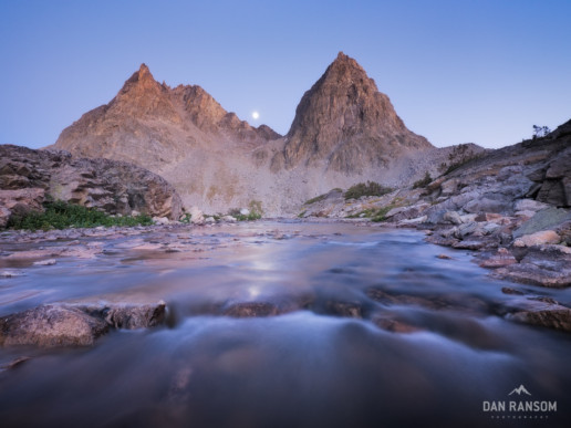
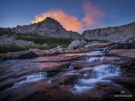
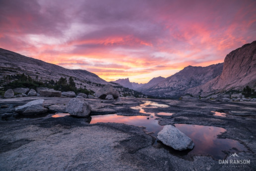
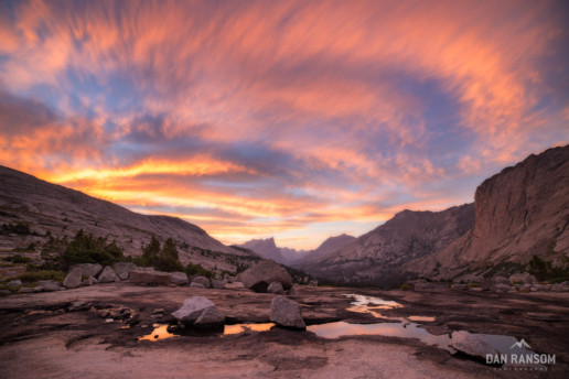
The first few days started well enough, making quick progress under bluebird skies, and gorging on some tasty alpine sunsets.
But on Day 4, the fun got real.
A storm rolled in, and we needed to clear a big pass to make our miles and stay on pace.
Two years earlier on the PCT I developed a chronic shin splint in my right leg that regularly warns me it’s time to take it easy. But trying to make big miles in the rain, I didn’t listen.
By nightfall I knew we had problems. It was cold, rainy, and I had pushed too hard.
I woke up barely able to move my leg, and just like that, it was over.
Suddenly the priority was simply to make it out.
After a fistful of ibuprofen and a quick look at the map, we started trudging for the nearest road…
12 miles away. And over 40 miles from our car.
If the story ended here, what a shitty story it would be.
I was crushed, could barely walk, but somehow we eventually made it to a road. With no cell phone reception and no ride, our only hope was a random hitch back to somewhere Wyoming. Which as it turns out, is really damn hard from the middle of nowhere.
The bitter taste of defeat stayed with me all winter. I was pissed off. And maybe a little embarassed.
But by summer I had new resolve. Unable to convince my brother to join me a second time, I decided I was going back regardless.
Even if it meant solo.
Going solo requires a different mindset.
The margin is a lot smaller if something goes wrong, for sure. But more than that, you prioritize different experiences than when you have a crew. Every decision is completely yours, and that freedom feels pretty damn good.
The plan again was 9 days,
with an aim to connect my footsteps to where I bailed the previous year. The route would tie together a few locations I had been to before, some multiple times, as well as a couple more obscure spots I hadn’t.
And just to keep things interesting, I carried a full DSLR kit and tripod,
even though the gram counting nerd inside me screamed out in protest.
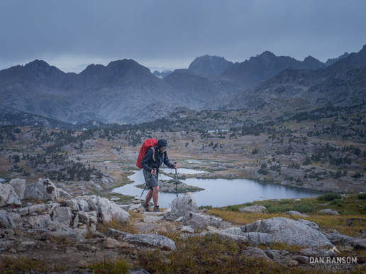
This leg would be neither fast nor light. My camera gear alone would weigh more than my sleeping bag and tent combined. Sure, I wanted to make miles, but more than that, I wanted to make some photographs along the way.
I think the extra weight was worth it.
In the end, an original 90 mile idea eventually became two,
and 130 miles of wandering finally bridged the gap.
If there are two types of trips, then this was both.
REAL. FUN.
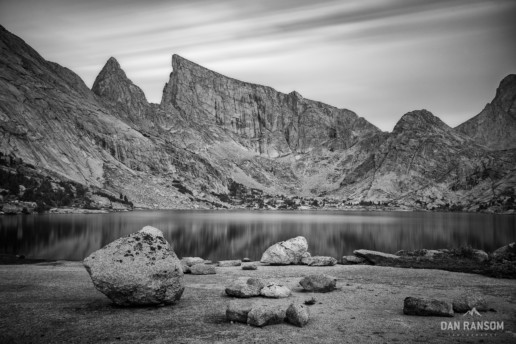
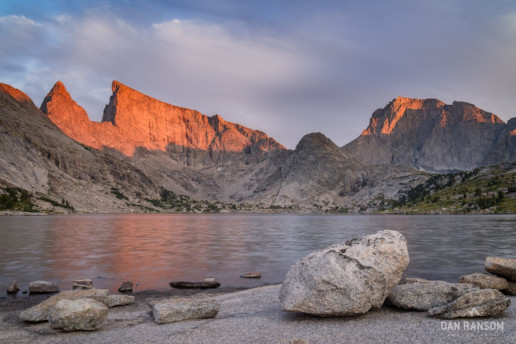
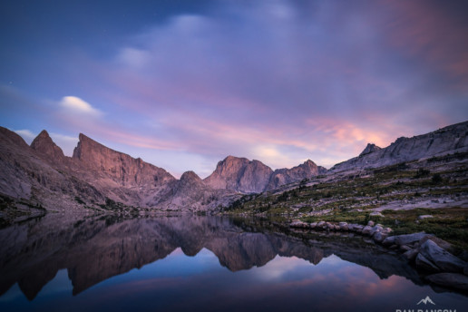
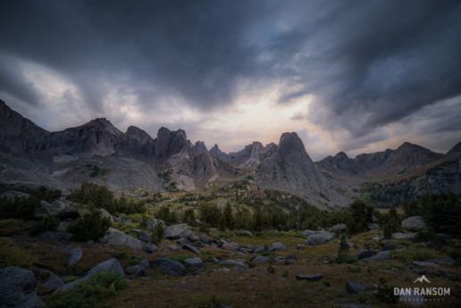
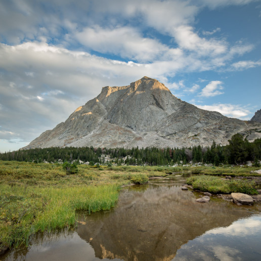
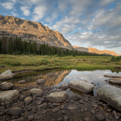
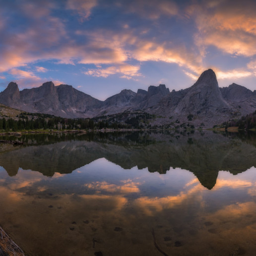
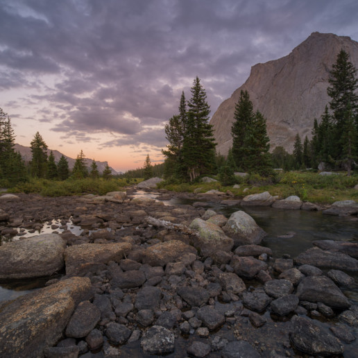
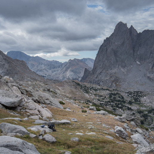
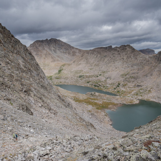
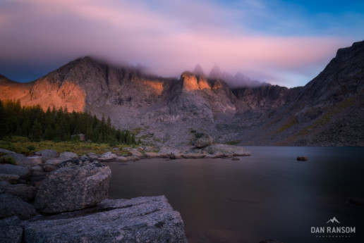
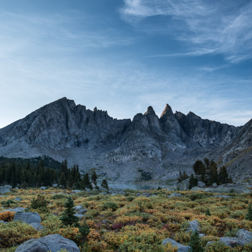
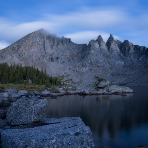
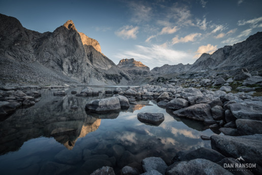
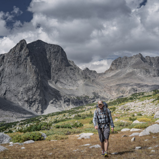
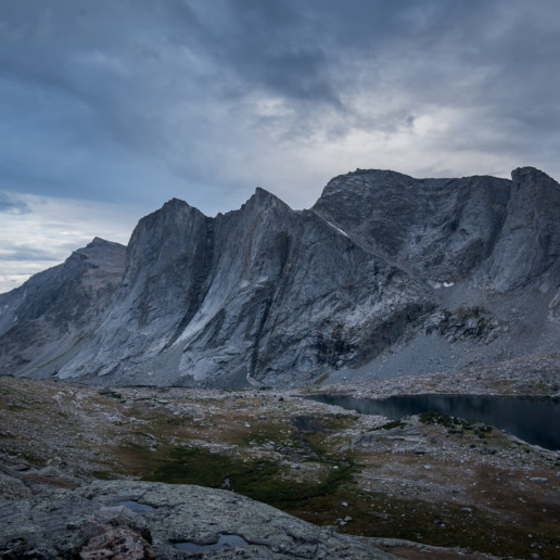
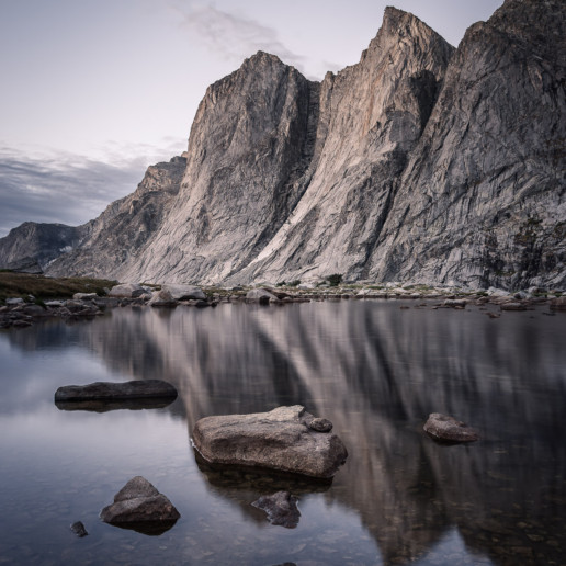
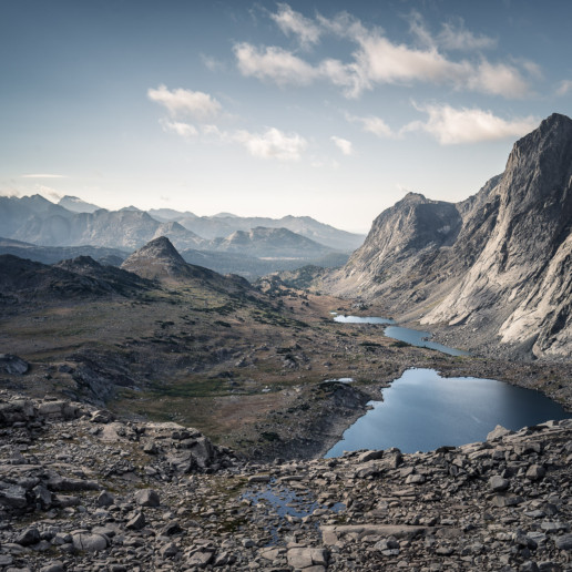
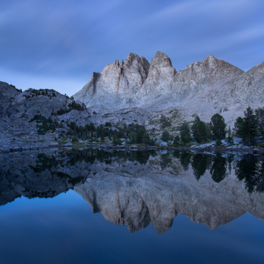
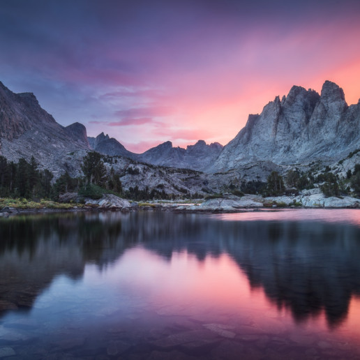
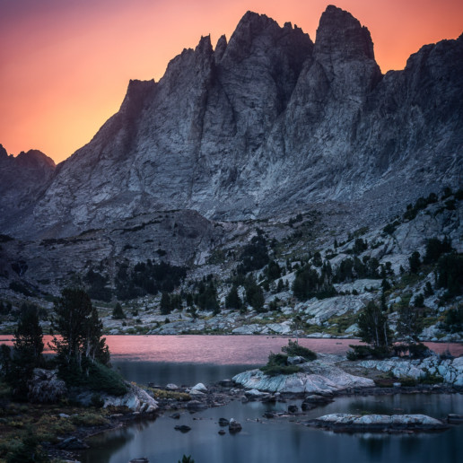
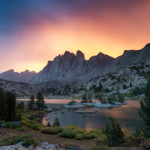
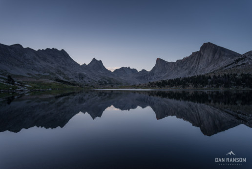
Day 5 – Bonneville Basin
Incredible photos! And great narrative too! Thanks for sharing and inspiring
Fellow backpacker / photographer here. Really enjoy your photos and your writing! In the beginning stages of planning to hit the Bob Marshall Wilderness next year. Keep up the great work!
Thanks Chris, cheers!
Spectacular photos – and loved the narrative! I made the same hike about twenty years ago – terrain hasn’t changed much (and neither has the weather, apparently.) That may be some of the most beautiful mountain scenery in the U.S. (world?). Thanks so much for sharing with us.
[…] the same time I contemplated a way to link up the Uintas, I also had completed a variation of what has come to be known as the Wind River High Route. I had pieced together options in the Winds from Nancy Pallister’s book, but Andrew Skurka and […]
[…] had spent a couple of days backpacking around Mt Bonneville as part of the Wind River High Route a few years previously, and I consider that zone one of the most photogenic in the entire range. […]
[…] By non-technical terrain, I generally mean terrain without heinous bushwacking, sandstone rasslin’, or gnarly weather conditions. The construction on this pack is fairly light to save weight, and it isn’t likely to take a serious beating. Think 5-7 day trips, where total pack weights will be below 35 lbs. This will be ideal for trips like the Uinta High Route or Wind River High Route. […]